
Rail Crossing Atlasby Tan Solutions
U.S. railroad crossings, straight from the federal record.
An atlas of U.S. railroad crossings built from the Federal Railroad Administration’s crossing inventory: 203,235 active crossings, retrieved 4 October 2026. Public records by state and crossing guides are open to everyone.

FRA highway-rail crossing inventory
Active grade crossings in the United States, one point of light each
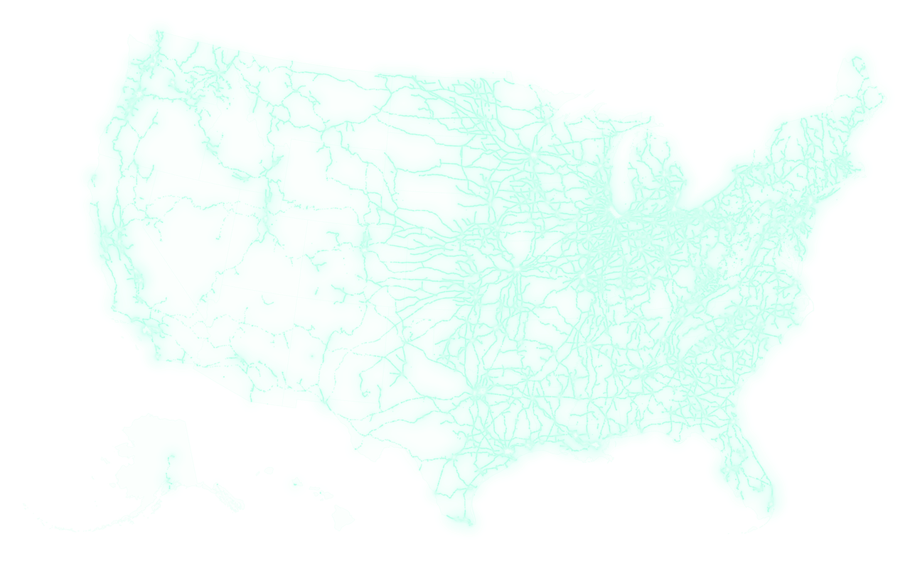
203,235active crossings
202,487 with a mapped location · FRA crossing inventory, retrieved 4 October 2026
Where it stands
Rail Crossing Atlas release steps
- Load the FRA crossing inventory (done)Refreshed 4 October 2026: 203,235 active crossings
- Public crossing records by state (done)Public since 1 October 2026
- Free accounts for the map, compare and record checks (done)Accounts live 3 October 2026
- Crossing guides (done)Guides index published 4 October 2026
Now: Live at railcrossingatlas.tansolutions.org. Public records and guides are free to read; the interactive map, compare and record checks need a free account.
What’s open to everyone
Crossing records for every state, a record search and the crossing guides need no account. The interactive map, compare and record checks need a free account. The atlas shows what the federal records say; it does not assess crossing safety.
Chicago, crossing by crossing
Zoom in on Chicago, where lines from every direction meet, and the network turns into single crossings: 2,463 of them in this window, about 150 km across, from Chicago’s northern suburbs to northwest Indiana. Each point sits where its FRA record places it.

The live atlas, on a phone
Three public pages as they appear today. No account needed for any of them.
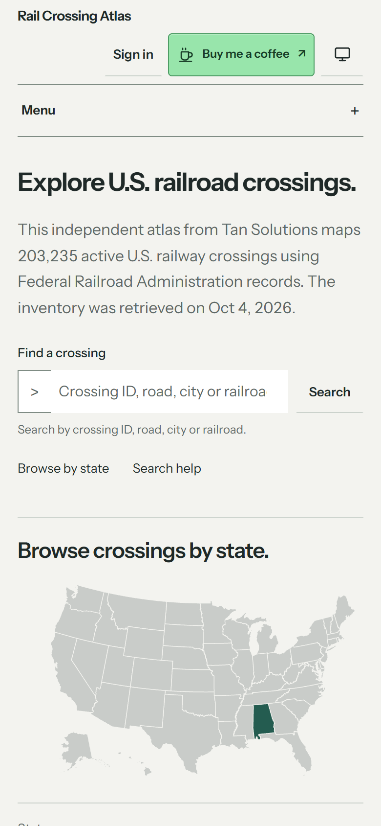
Search or pick a state
Search by crossing ID, road, city or railroad, or start from the map of states.
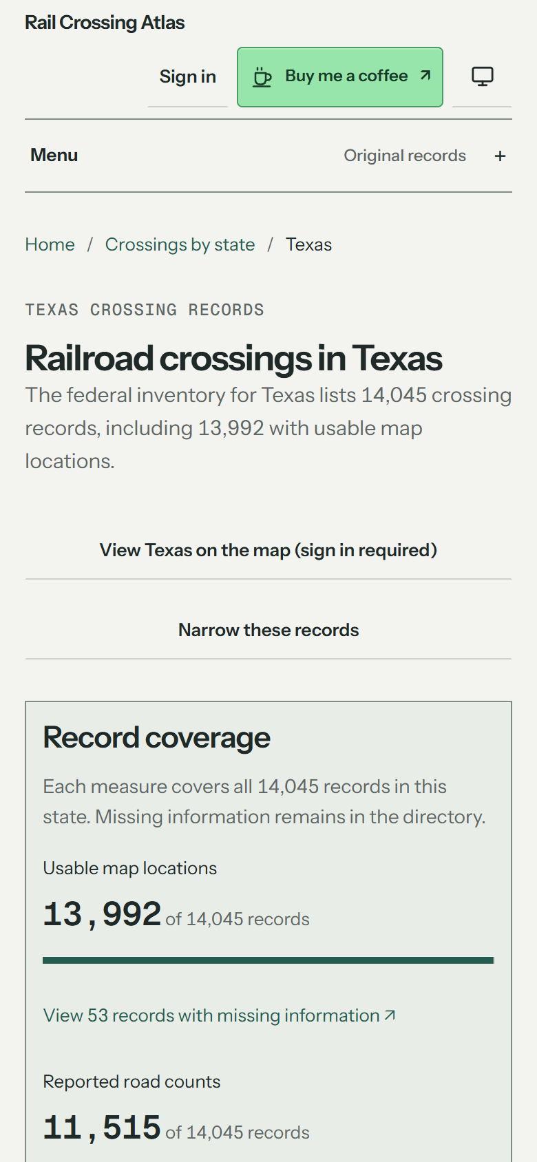
Open a state’s public records
Each state page lists its crossing records and shows how many have usable locations, road counts and train counts.
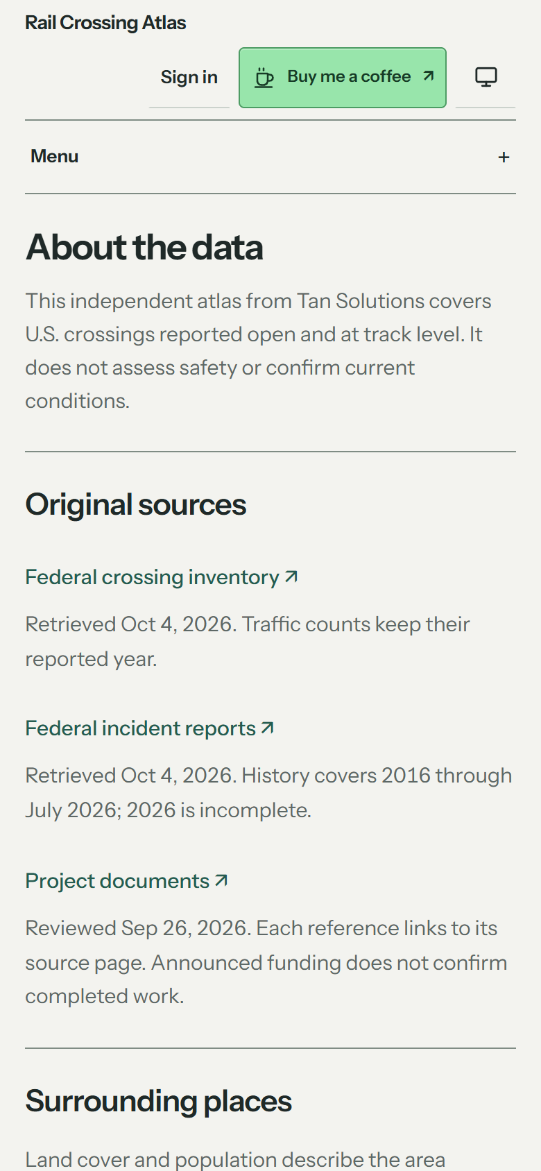
Check the source and its limits
Every source is linked with the date it was retrieved, and the limits of the records are spelled out.
Looking up a railroad crossing
The Federal Railroad Administration keeps a record for every highway-rail crossing in the United States, each under its U.S. DOT crossing ID. Rail Crossing Atlas turns that inventory into pages you can read: search by crossing ID, road, city or railroad, open a state to see its crossings, or follow a guide on finding a crossing and reading crossing project documents.
Tan Solutions builds and runs the atlas. The state pages, the record search and the guides are on its own site: open a U.S. railroad crossing map on Rail Crossing Atlas.
More from Tan Solutions
Looking for a crossing record?
Tell us which crossing, state or field you need, or what is missing from the records. Please don’t send passwords or personal data.